2022-2024 GeoTEd-UAS Professional Development Institute
Funded through the National Science Foundation (ATE) & administered by the Virginia Space Grant Consortium
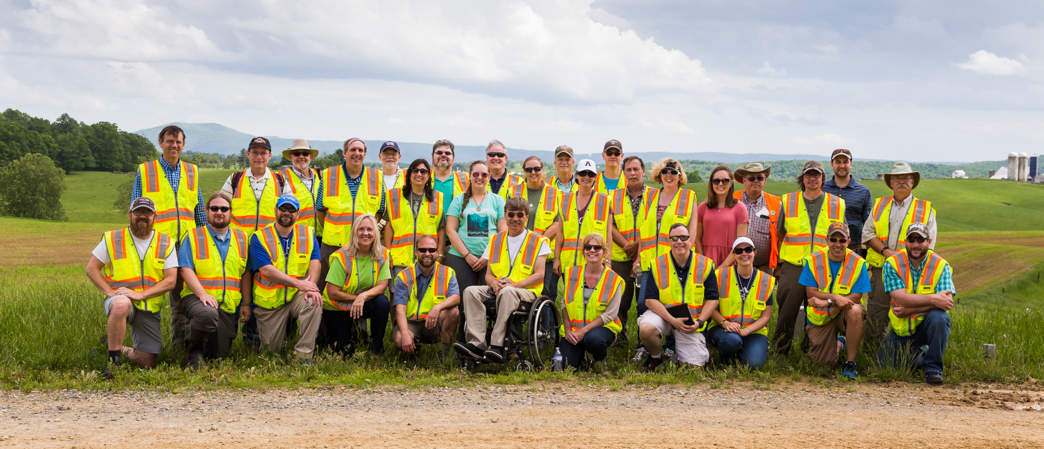
 The GeoTEd-UAS Institute is a professional development opportunity that provides training for educators in geospatial technology and in the operation of Unmanned Aircraft Systems (AKA ‘drones’, sUAS ) to facilitate data acquisition. At the conclusion of the GeoTEd-UAS Institute, faculty will be better qualified to extend geospatial analysis and sUAS instruction within their primary discipline. The cohort members of this institute are expected to serve as trained sUAS operations technicians at their respective community colleges, high schools, and other informal educational organizations. Institutional support is an essential component in the application process.
Who: Community College / 2-Year College Faculty, High School Teachers, 4-H Educators
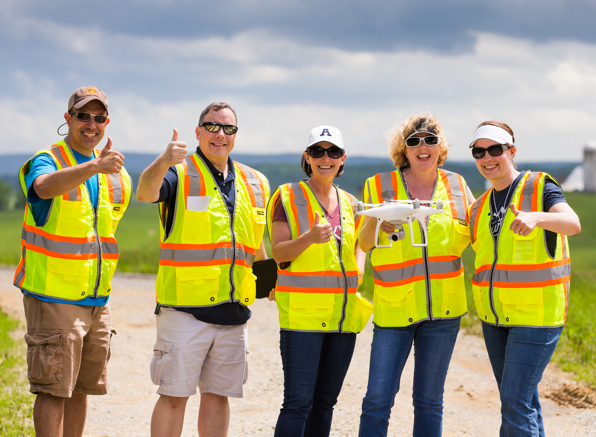
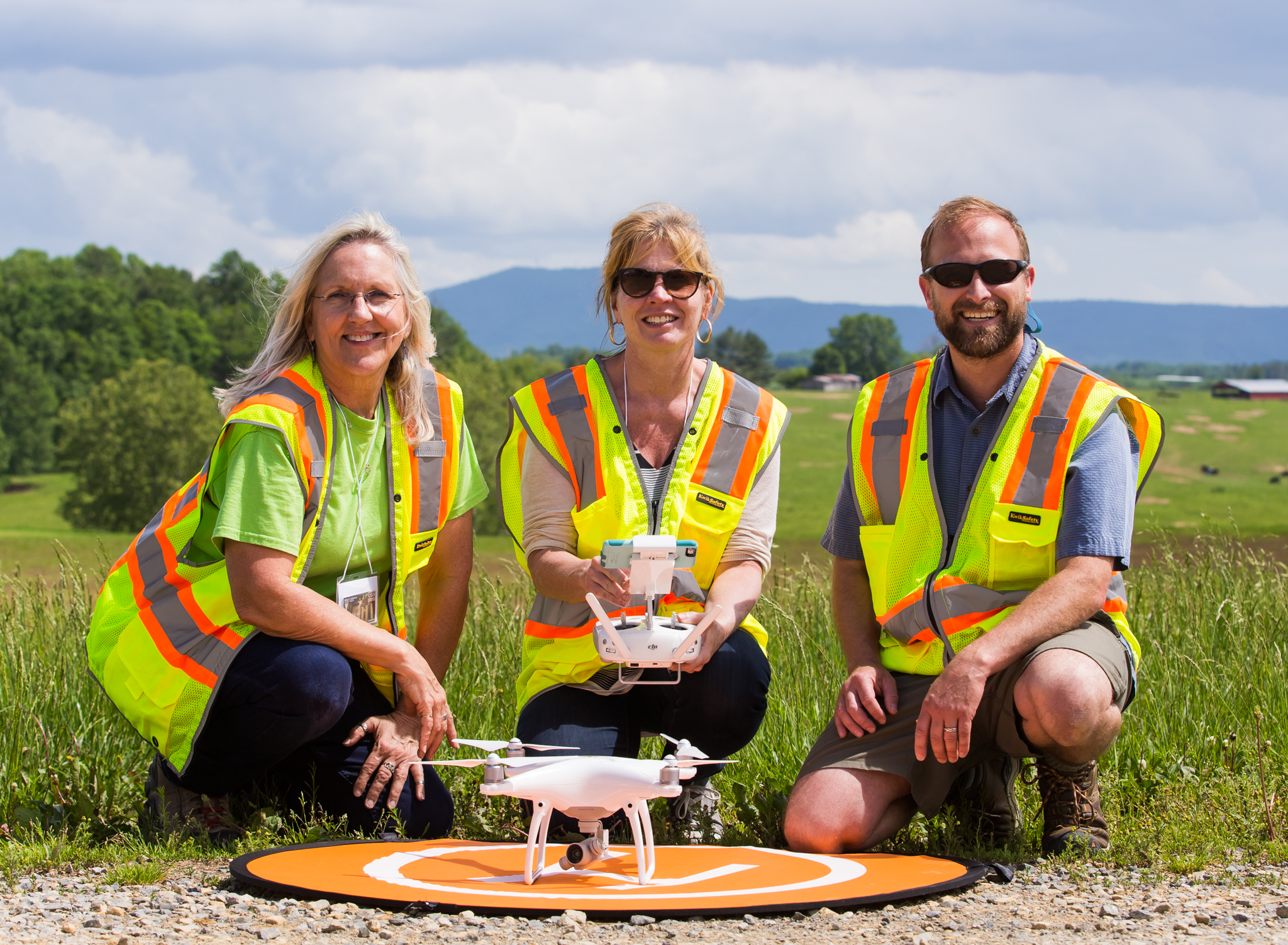
Topic: Small Unmanned Aircraft Systems (sUAS) Operations Technician training and hands-on experience coupled with Geospatial Technician training
When: 5-days, Early Summer, 2022 (the week of May 22) & 5-days, early Summer 2023 (the week of May 21). Cohort members are expected to attend both institutes and will be provided with mentors during the course of the year.
Where: 2022 at Virginia Tech | 2023 at Virginia Tech
Online Registration: Note that applications are no longer being accepted for 2023.
Application Deadline: The deadline for applications has passed.
No previous Drone experience required! Past cohort members reflect on the experience as “Drone Camp” for educators. Educators will learn about mapping with drones (to collect data), how to plan a drone flight and safely operate a drone, how to effectively implement a drone-based student service learning project. Not only will you learn how to collect data via sUAS, but you will also learn other methods of spatial data collection and will be provided with an introduction to spatial data analysis techniques. You will meet new colleagues and establish professional networks to support your educational needs moving forward. The food (and accommodations) are far superior than your old summer camp experience (so it is even better than camp!).
Workshop reflections from previous cohort members-
- This was awesome! Drones were not something I ever saw myself getting into because there seemed to be such a steep learning curve and I didn’t know where to begin, and wasn’t sure how it would fit with the classes I teach. But now I feel like I know enough that I can incorporate drones and remote sensing into my courses.
- This was a phenomenal experience. I really appreciated how the leaders were willing to modify the schedule to best meet where we were and our diverse needs. It was nice to have ample time to work with the imagery in an open, but still structured environment.
- This was a hands on experience that helped me understand my strengths and weaknesses while pursuing implementation of UAS into the classroom.
- My knowledge and understanding of UAS has grown exponentially since becoming involved with the GeoTED-UAS institute. I admit that before this experience over the past two years, I basically viewed drones as toys instead of real tools to accomplish real work and so much of it at that. I’m certainly glad to be part of this and hope to continue to be able to contribute to the growth of this exciting new industry.
- It is great to have all ranges of experiences, “masteries”, and fields of interest in a group together. The dialog, questions, and visions ultimately collaborate into a greater advancing knowledge experience for all regardless of level.
- I am so excited about completing the GeoTEd-UAS Institute. The presenters were awesome and I learned so much. After learning how to plan a mission, choose the appropriate camera, fly the mission, process the images, and providing a report, I feel confident that I can transfer the knowledge to others. I am able to be an advocate for UMS classes and service learning projects at TCC and will work hard to offer UMS classes and a Career Studies Certificate at the college. I have already attended my first AUVSI meeting and feel like this is a great opportunity to be part of the future!
Cost: These are free workshop opportunities for a limited number of community college faculty, high school teachers, and 4-H leaders. Stipends are available to cohort participants after workshop expectations are met. Participating institutions and organizations are expected to cover the cost of transportation to the workshop location, and provide leadership and support for the development of UAS pathways at their respective institutions.
Application Process: A letter demonstrating institutional support from your supervisor (i.e. principal, dean, or vice president) is required to complete the workshop application. You can complete the online application now, and submit the letter (via email) later. All submitted applications will be reviewed and follow-up interviews may be conducted with qualified faculty applicants. Applications are not being accepted at this time.
Requirements: Each participant in the program will receive a $900 stipend for year #1, and an $700 stipend for year #2 ($1,600 total) provided that expectations within and outside of the institute are met. These expectations include:
- Attend and complete a free Spring 2021 Introduction to sUAS online course. You will receive a drone so that you can practice flying! We will not only get you prepared to get FAA certified (Part 107, needed to legally fly…), but we will also pay for your remote pilot knowledge test where you will receive your FAA Remote Pilot Certificate! Prior to attending the 2022 institute you will be required to have your FAA Remote Pilot Certificate.
- Attend the GeoTEd-UAS Institute in the Spring 2022 and in the Spring 2023.
- Develop sUAS curriculum, GIS and spatial analysis curriculum, integrate with your courses, develop new courses, and/or pathways within your program.
We will explore additional opportunities to facilitate the integration of sUAS technology within your organization. Some of these opportunities may include:
- Leveraging the offerings of other colleges as needed to provide geospatial and/or sUAS pathway opportunities and graduation opportunities to students.
- Becoming a college-wide resource in the use and application of sUAS and/or spatial analysis to faculty in other curricula.
- Providing training to those faculty in the legal, safe, and productive operation of sUAS and analysis of sUAS collected data.
- Publicizing the use of sUAS to increase sUAS technician program enrollment in both your service region and across the state and region.
- Leading a formal or informal team at your college that provides the overall background required to instruct the sUAS and spatial analysis related course(s).
- Organizing and lead a student service learning course based on concepts that you learn at the Institute!

Gain hands-on field experience!
Competitive Grants: Competitive opportunities for mini-grants will also be provided to cohort members by the project team to support these, and other efforts.
Workshop Overview:
Small Unmanned Aircraft Systems (sUAS) represents a new data collection tool, that can add tremendous value to industry and decision making. Many existing employment sectors have an immediate need for Operations Technicians to take advantage of sUAS operations capabilities. The Federal Aviation Administration (FAA) has recently released new guidelines and regulations for the operation of small UAS. It is anticipated that these guidelines will further spur the proliferation of sUAS technology across employment sectors.
sUAS represents a transformative technology that provides the acquisition of data and information ‘on demand’ by an array of different platforms and sensors, including true color, near-infrared, thermal, multispectral, and lidar. sUAS platforms are increasingly being utilized in an array of disciplines and professions. These data, when integrated with other geospatial tools, including image processing software, geographic information systems (mapping and analysis software), and geographic exploration systems (primarily mapping software) further enhance collected data to facilitate data-driven decision making. In addition to learning about sUAS, participants will receive an introduction to geospatial technologies, data development workflows. Faculty will share their knowledge and lessons learned to facilitate the integration of these tools in the classroom and through student service learning experiences.
This professional development opportunity is designed to provide training for educators in the operation of UAS to facilitate data acquisition so that faculty will be better qualified to extend sUAS instruction within their primary discipline. The cohort members of this institute are expected to serve as trained sUAS operations technicians at their respective community colleges, high schools, and other informal educational groups. They should provide related courses that are needed to meet employer demand. Institutional support is an essential component in the application process.
We expect that most faculty will be able to instruct one of the areas (sUAS flight operations, sUAS flight planning, sUAS data capture formatting and manipulation, sensor selection, remote sensing data analysis, sUAS maintenance, etc.) but may not have access to the laboratories or knowledge for covering all of the needed informational areas. For example, a faculty member may know how to use GIS and can learn how to plan and complete a mission, but does not know how to access the equipment to maintain the aircraft. Community colleges that can demonstrate coverage of needed knowledge areas will be considered for this program.
Past cohort participants have found this experience to be extremely rewarding, and have developed expertise and extensive professional networks that, in many cases, have changed the way that they approach their courses. Also note that, in addition to attending two workshops, a mentoring program provides additional support during the course of the academic year (over 3 years). If you are interested in cutting edge technology and innovative educational tools, then we encourage you to submit an online application and join the educational journey associated with this transformative technology with us!
Funding: This professional development opportunity is provided through GeoTEd-UAS and is supported by the National Science Foundation Advanced Technology Education program (NSF ATE DUE: 2000715).
Contact: If you have any questions about the GeoTEd-UAS, please feel free to contact Cherie Aukland (Education Consultant | auklandc@tncc.edu), Chris Carter (VSGC | cxcarter@odu.edu), John McGee (VT | jmcg@vt.edu), Shawn Shields (GCC | SShields@germanna.edu ), or David Webb (Education Consultant | davidewebb@outlook.com).