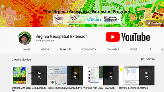
Each video tutorial series listed below can be used in conjunction with the software tutorial ebooks that are available through Amazon. However, these video tutorials can also be used as stand-alone learning resources.
Current topics include:
ArcGIS Tutorials for Remote Sensing and Lidar-
- New for 2021! Working with Lidar Using ArcGIS Pro (14 videos)
- Data to support this workbook can be downloaded from here https://tinyurl.com/AGPLidar
- Remote Sensing with ArcGIS Pro (28 videos)
- Working with Landsat 8 OLI Data in ArcGIS Pro (Developed by VermontView)
- Using Lidar in ArcGIS Desktop (13 videos)
- Remote Sensing with ArcMap (Desktop) (30 videos)
Drone Related Tutorials
- New for 2021! Mapping with Drones video tutorial series (7 videos)
- Drones: Mastering the Aeronautical Charts (6 videos)
General Remote Sensing Tutorials
- Assessing the Accuracy of Maps (Developed by NewHampshireView)
Educators are using these resources to accompany 2-year and 4-year college / university course material. Students are using the resources as a self-paced education. Professionals associated with private industry, local / state / federal governments, and other non-profit organizations are implementing the video tutorials with workforce development / self-paced instruction. Please note that these video resources are software based, and are intended to augment theoretical concepts.

