Project Objective: Invasive Plant Species Mapping
Location: Heritage Park
Date: Updates will be provided here as forecasts become reliable. At this time, planned flights have been rescheduled for: Monday, April 5
—
Project Update (Posted 3/26/21): The 10 day weather forecast suggests that the area may experience cooler temperatures next week. If this is the case then we will likely delay flight operations until April 8. We will make a final decision to either proceed with the April 1 data collection flight, or postpone the April 1 data collection flight operations early during the week of 3/29). Stay tuned!
Project Update (Posted 3/29/21): The Bradford pears are starting to show some color, but the weather does not look as though it is going to cooperate this week. The forecast is calling for winds on April 1st. Looks like we will be shooting for April 8th for our flight operations, but will make a final call on 3/30. Stay tuned…
Project Update (Posted 3/30/21): Weather forecasts continue to be uncooperative. Sustained winds on April 1 are anticipated to be from the NW at 20 mph. We are therefore postponing the data collection flight until April 8th, weather permitting. Stay tuned…
Project Update (Posted 4/2/21): Due to the uncertain weather forecast late next week, and phenology concerns, we are planning to begin data collection on Monday, April 5.
—
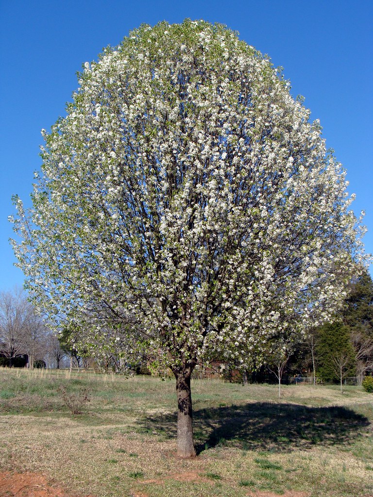
“Bradford pear tree” by Martin LaBar is licensed under CC BY-NC 2.0
We will be utilizing a small unmanned aircraft system (sUAS, aka drone) to operate over Heritage Park. Data (aerial photography) will be collected using the sUAS to support the potential identification of invasive plants, including the Bradford pear and Autumn olive across the park. We will primarily be operating a fixed wing sUAS (~3 lbs.) that is primarily constructed of foam. We may also operate a small quadcopter (~3 lbs) to support data collection. This data collection effort is a component of a student service learning project and will conform to sUAS regulations as outlined through FAA Part 107 rules.
The scheduling and successful operation of the sUAS is contingent on local weather conditions (wind, rain, etc.). The overall project is also reliant on more general spring climatic patterns that influence phenology. We are therefore initially targeting Thursday, April 1st, with a backup operation dates (based on weather / phenology) of Thursday, April 8th, or Monday, April 12th.
Signage associated with this project has been posted at Heritage Park. The Heritage Park signage points to this webpage. We will use this webpage to provide further updates on sUAS flight dates, as soon as we receive and have confidence in local weather forecasts.
This student service learning project is supported by the Virginia Space Grant Consortium through a VSGC Innovative Project award to the VT Department of Forest Resources & Environmental Conservation.
Questions about the project should be directed to John McGee (jmcg@vt.edu), Geospatial Extension Specialist, Virginia Tech Department of Forest Resources & Environmental Conservation, (540) 231-2428
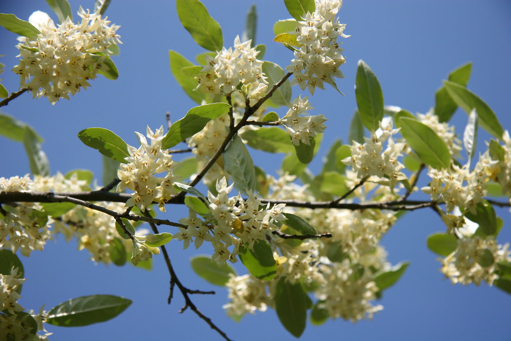
“Autumn Olive” by StarrGazr is licensed under CC BY-NC-ND 2.0