Hamed, K., Spradlin, V., & McGee, J. (2023). Observing Our Natural World with Drones. CNRE Pub 141P. 62 pages.

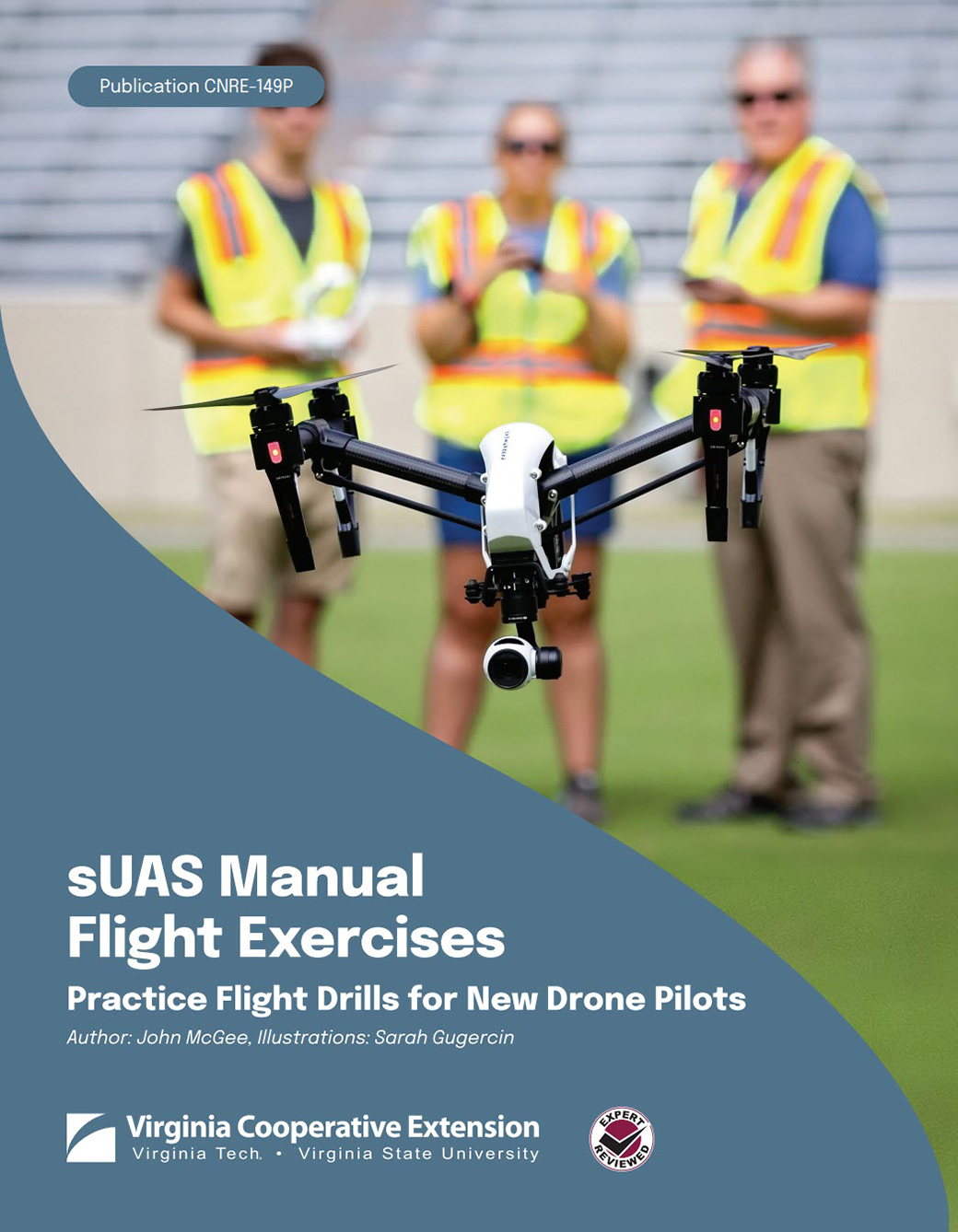
J. McGee. (2022). sUAS Manual Flight Exercises. Pub. CNRE-149P. 22 pages.

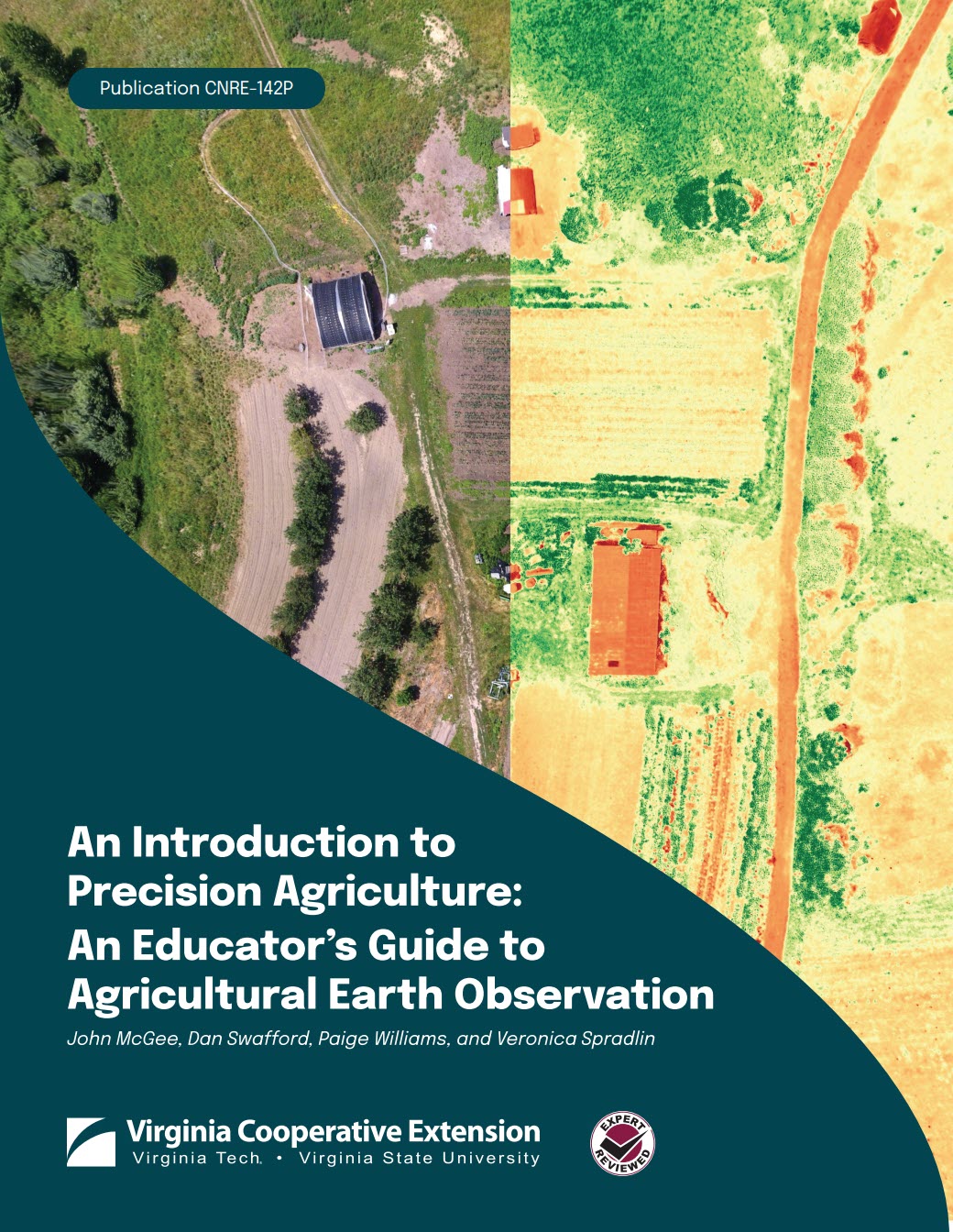
McGee, J., Swafford, D., Williams, P., & Spradlin, V. (2022). An Introduction to Precision Agriculture: An Educator’s Guide to Agricultural Earth Observation. Pub. CNRE-142P. 96 pages.
Video Tutorials
VirginiaView and partners have produced several video tutorials to support geospatial data collection and analysis, and are available through the Virginia Geospatial Extension Program / VAView YouTube Channel , or access our Video Tutorial web page for a current list of video tutorial options. Note that some of these tutorials are software based, and are not intended to take the place of a solid theoretical foundation.
Software Tutorials
- Exploring Image Processing with Open Drone Map. This resource provides instruction on creating ortho mosaics (image mosaics) using data and imagery collected by drone. This tutorial uses Open Drone Map, which is an open source software platform. Links to sample datasets are provided in the tutorial.
- Teaching with Topos – This resource was developed through GeoTEd-UAS and provides an introduction to Topographic maps, through a series of learning lessons and activities. This is most appropriate for older middle schoolers or early high school ages (or 4-H).
- Exploring Our Planet with Open Source Software– This resource provides an overview of open source software that is used for mapping and analysis, and includes instructions and learning opportunities for Google Earth, National Geographic MapMaker, and OpenStreet Map.
- Working with Google Earth Pro– This manual provides step by step instruction for GoogleEarth Pro. There may be more to GE Pro than you realize!
NEW! Drone Instructional Tutorials
- sUAS Manual Flight Exercises: Practice Flight Drills for New Drone Pilots (2022)- This resource provides new drone operators with some practice exercises that are designed to help them to hone their flight skills. The manual also includes a brief overview of sUAS rules and regulations, and provides other safety considerations for operating (and instructing). 26 pages | 5 MB
- Observing Our Natural World with sUAS (2023) – This document provides a compendium of learning lessons in natural resources that are geared towards middle and high school educators. This resource is intended to be provided ‘cafeteria style’ whereby educators can select the modules and exercises that best target their needs. 92 pages | 5 MB
- An Introduction to Precision Agriculture: An Educators Guide to Agricultural Earth Observation (2022) – This document serves as an educator’s guide to agricultural earth observation, and introduces precision agricultural concepts, and integrates exercises and learning lessons. This guide was developed for middle school agricultural technology teachers and 4-H educators in mind. Components of this manual could also be integrated into high school agricultural technology curriculum. This resource is intended to be provided ‘cafeteria style’ whereby educators can select the modules and exercises that best target their needs. 99 pages | 42 MB
*note that examples of sUAS checksheets and other documents can be downloaded from the Drones Webpage, and a list of sUAS software and Apps can be accessed from the Software & Apps webpage. Several sUAS video tutorials are available from the Virginia Geospatial Extension Program YouTube Playlist.
GPS / GNSS Tutorials
These guides were developed to support the needs of Virginia Cooperative Extension, and are also being widely used by middle and high school teachers.
- eTrex Venture HC Manual – Natural Resource Manager Version
- eTrex 10, 20, or 30 Manual – Natural Resource Manager Version
- DNRGPS – is a software extension for ArcGIS Desktop and ArcGIS Pro. This application supports GNSS file formatting and transfer.
- GPS Utility is an easy-to-use application that allows you to manage, manipulate and map your GPS information.
AmericaView Consortium Educational Resources
- AmericaView has an extensive clearinghouse of Lesson Plans and remote sensing tutorials

McGee, J. & Shields-Lyons, S. (2024). Exploring Image Processing with Open Drone Map. Pressbooks. 57 pages.
