New Professional Development Workshop for Educators! The program An Experiential and Data-driven Approach to Agricultural Education (ADVANCE) is a face-to-face professional workforce development opportunity that provides educators with the knowledge, experience, curriculum resources, supplies/equipment, and mentoring to support the implementation of drones and precision agriculture concepts in the classroom. This is a hands-on, field-based workshop. Additional information and registration about the workshop is available from here: www.vtadvance.net
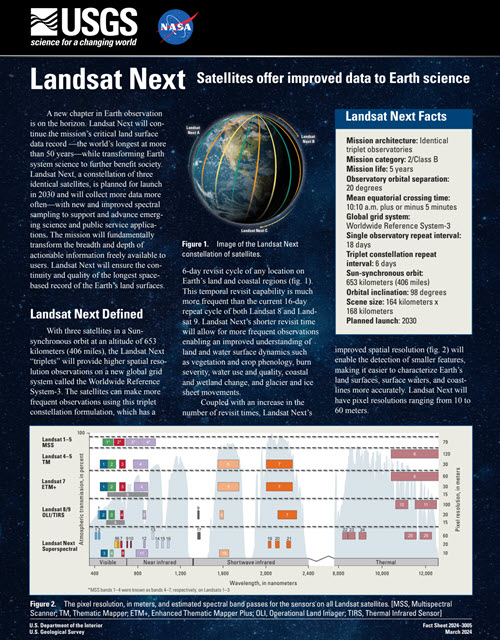
Landsat Next Fact Sheet
The USGS has released the Landsat Next Factsheet. Landsat Next will ensure the continued continuity of the Landsat program and is expected to launch in 2030. Learn more about Landsat Next from here: https://pubs.usgs.gov/fs/2024/3005/fs20243005.pdf
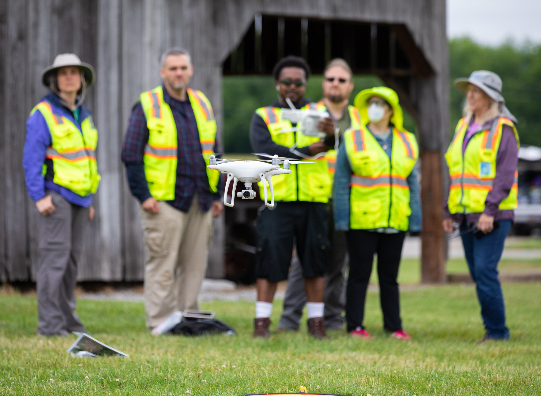
New Drone Workshops!
New Workshops for 2024! We are offering a couple of new workshop options for 2024! Come learn about the workflows associated with generating maps from drones at the 3-day, face-to-face Mapping with Drones: Drone Discovery Workshop at Virginia Tech! And for those of you who need to take the FAA's remote pilot test (required if you are planning to use a drone for work purposes and/or for research), then you should delve into our 2-day virtual Remote Pilot Test Prep Workshop. Let's get flying! More info here https://virginiaview.cnre.vt.edu/workshops-events-2/
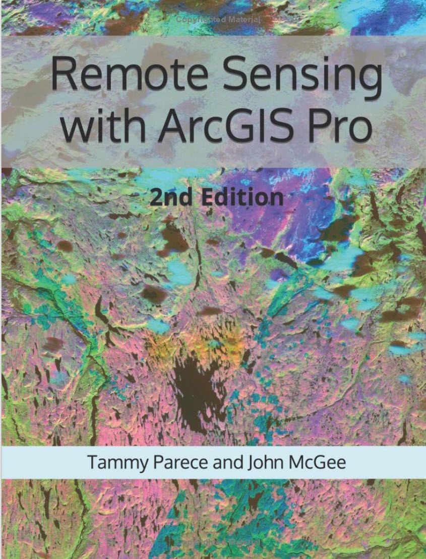
New Remote Sensing Tutorial Book! Remote Sensing with ArcGIS Pro (2nd Edition)
Remotely sensed images are widely available and have countless potential applications. In the past, analyzing these images required specialized software. Esri’s ArcGIS® Pro software provides image analysis tools that both novice and experienced analysts can use. This manual provides a series of easy-to-understand, step-by-step tutorials to guide you through Landsat image acquisition and data analysis processes. By completing this series of tutorials, you will be able to: Search, select, and download satellite imagery from the USGS’s EarthExplorer Manipulate data in ArcGIS Pro Display Landsat 9 imagery (as well as
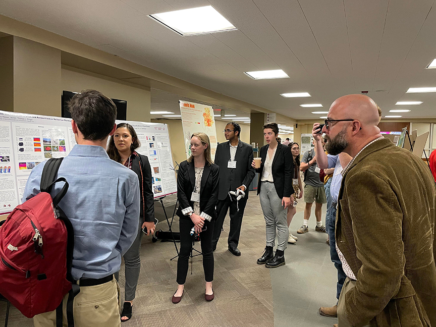
Virginia Tech GIS & RS Research Symposium
Join us as we celebrate Earth Observation Day on April 5, 2024 at the VT GIS and Remote Sensing Research Symposium! Researchers from Virginia Tech and beyond will present their cutting-edge research experiences. Another highlight of the symposium is the Student Poster and Web Map App Showcase with both undergraduate and graduate work on full display (and cash prizes). The Virginia Tech OGIS Symposium is co-hosted by VirginiaView, through VT CNRE and the Virginia Tech Library. Additional information is available from here.
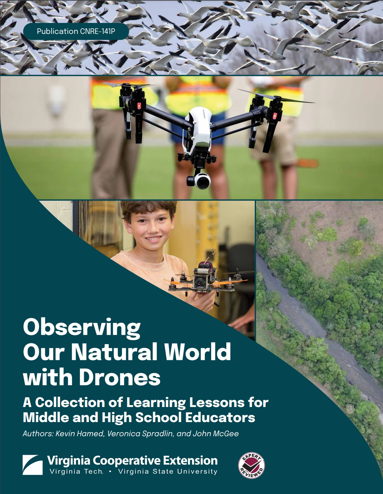
New Tutorial: Observing Our Natural World with Drones
This document provides a compendium of learning lessons in natural resources that are geared toward middle and high school educators. The curriculum resources included in this manual are intended to be provided ‘cafeteria style’ whereby educators can select the modules and exercises that best target their needs. 92 pages | 5 MB Access the text from here --> https://virginiaview.cnre.vt.edu/tutorials/
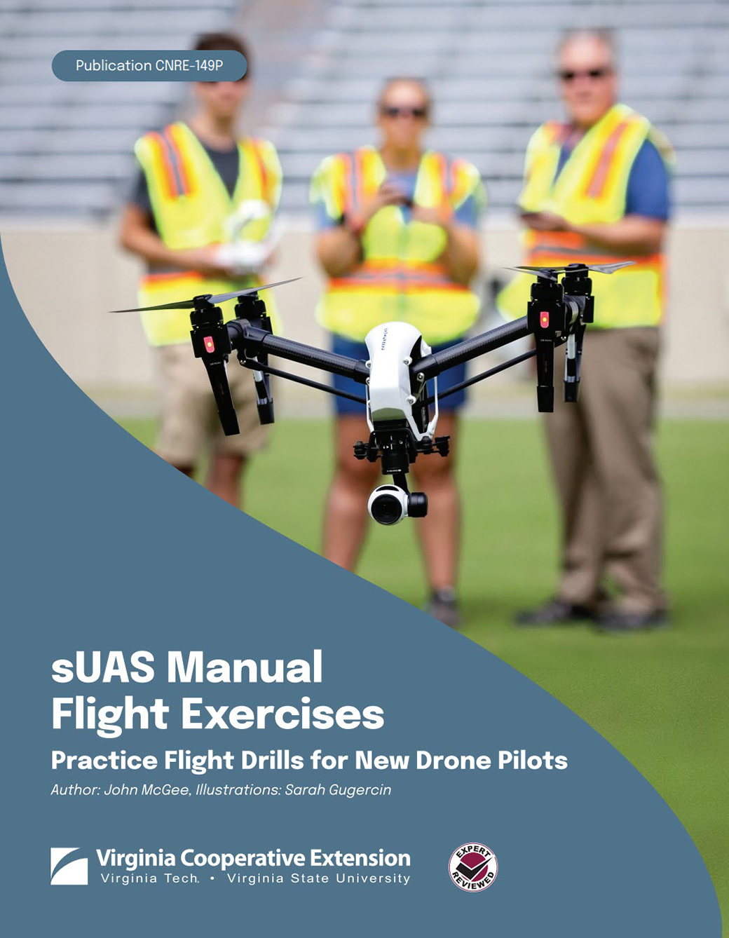
New Publications for Educators!
Are you looking to extend your educational programming and include more STEM? Look no further. The Virginia Geospatial Extension Program, in partnership with GeoTEd-UAS, Virginia Cooperative Extension, and VirginiaView have developed several new publications to support pre-college and 2-year college educators. These, and other tutorials are available in the <Education> menu under the <Tutorials> option (shortcut here). New publications include: sUAS Manual Flight Exercises: Practice Flight Drills for New Drone Pilots (26 pages | 5 MB) An Introduction to Precision Agriculture: An Educators Guide to Agricultural Earth Observation (99
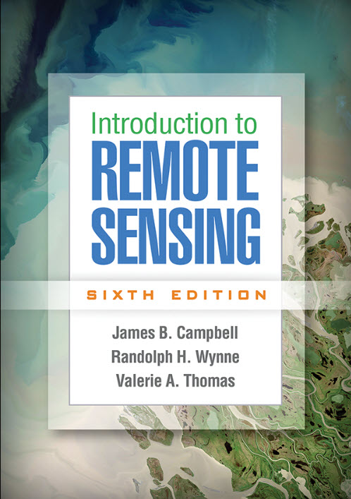
Introduction to Remote Sensing: 6th Edition launched
Introduction to Remote Sensing (sixth edition) has been published by Guilford Press! This textbook was authored by Jim Campbell, Randy Wynne, and Val Thomas - VirginiaView colleagues!
High School CTE Teacher UAS Training Workshop
The High School CTE UAS Training Workshop through the Virginia Pilot Pathway UAS Training Program will increase and diversify the UAS pilot workforce through high school CTE teacher professional development. This will result in the recruitment of more students into the pipeline and by building high school teacher capacity to prepare the workforce. The project will target increasing the number of UAS pilots trained and certified to fly small UAS (sUAS), defined as UAS weighing between .55 lbs. and 55 lbs. at takeoff. Under FAA Part 107 regulations, a person
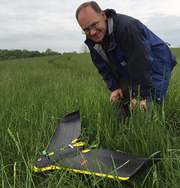
Mapping with Drones Workshop 2022
Mapping with Drones is an intensive, yet introductory level workshop, and can be considered a ‘drone boot camp’. No previous knowledge or experience with drones, sUAS, or GIS is required. Small Unmanned Aircraft Systems (sUAS) are permeating many sectors of industry, and are increasingly being employed as data collection platforms to support of an array of applications. Applications span disciplines and industries and can include: planning, natural resource management, marketing, inspection of structures, agricultural production, permitting, and public safety. Specific sensors can be used to tailor application needs. Flights can

2020 Unmanned Aircraft Systems (UAS) Workforce Survey Report
With funding support from GO Virginia and in partnership with the Richard Bland College of William & Mary (RBC), the Virginia Space Grant Consortium (VSGC), the Geospatial Extension Program at Virginia Tech, and the Virginia Unmanned Systems Center at the Center for Innovative Technology (CIT) recently conducted an Unmanned Aircraft Systems (UAS) Workforce Survey to inform future workforce development and education programs to train the UAS workforce. Faculty leaders from the NSF-funded GeoTEd-UAS project were also partners on the project. Here is a link to the final report for the survey that was completed by employers and organization
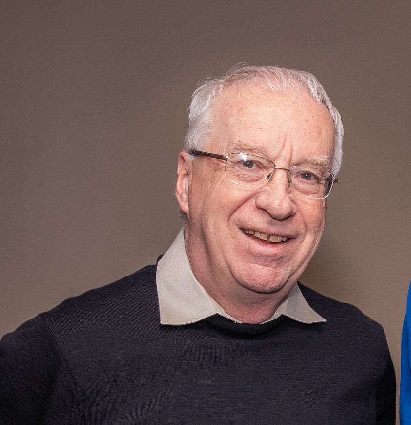
Jim Campbell Receives AmericaView’s Lifetime Achievement Award
Jim Campbell is the recipient of the 2020 AmericaView Lifetime Achievement award. The Lifetime Achievement Award recognizes Jim’s decades of national engagement with AmericaView, his leadership of the VirginiaView program that is a vital component of Virginia Tech’s land grant mission, and his overall contributions to remote sensing outreach. Jim is a founding PI of VirginiaView, has served on the AmericaView board of directors, and continues to contribute to the AmericaView consortium through various projects and committees. AmericaView is a nationwide consortium of state partners. The consortium is lead by
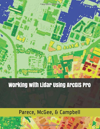
Lidar Textbook Available for ArcGIS Pro Users
Working with Lidar Using ArcGIS Pro is a new text book that was developed through VirginiaView, in partnership with GeoTEd-UAS, Virginia Cooperative Extension, and other partners. This textbook was developed for individuals who utilize lidar data and who have either migrated, or are in the process of migrating to ArcGIS Pro. While the text was initially developed to support course delivery for 2-year and 4-year college / univ. students, this resource is also being utilized by local and state government officials, the private sector, and non-profits. Working with Lidar Using