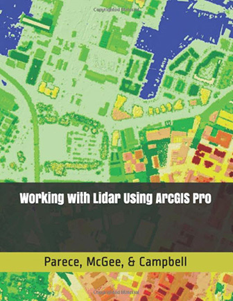
Working with Lidar Using ArcGIS Pro is a new text book that was developed through VirginiaView, in partnership with GeoTEd-UAS, Virginia Cooperative Extension, and other partners. This textbook was developed for individuals who utilize lidar data and who have either migrated, or are in the process of migrating to ArcGIS Pro.
While the text was initially developed to support course delivery for 2-year and 4-year college / univ. students, this resource is also being utilized by local and state government officials, the private sector, and non-profits. Working with Lidar Using ArcGIS Pro is available on Kindle (through Unlimited) for free (if you are not an ‘unlimited’ member, a Kindle version is $3.99). A hardcopy version is also available through Amazon for a fee.
This book supplements previous text-based tutorials also developed through VAView including:
- Remote Sensing with ArcGIS Pro
- Remote Sensing Analysis with ArcGIS Desktop
- Working with Lidar Using ArcGIS Desktop

