On this page
Books and eBooks
The Virginia Geospatial Extension Program, in partnership VirginiaView, and professional colleagues, has produced several remote sensing tutorials that are available for free through PressBooks and Kindle Unlimited (otherwise, eBooks are $3.99). Hardcopy books are available through Amazon as well. Current offerings include:
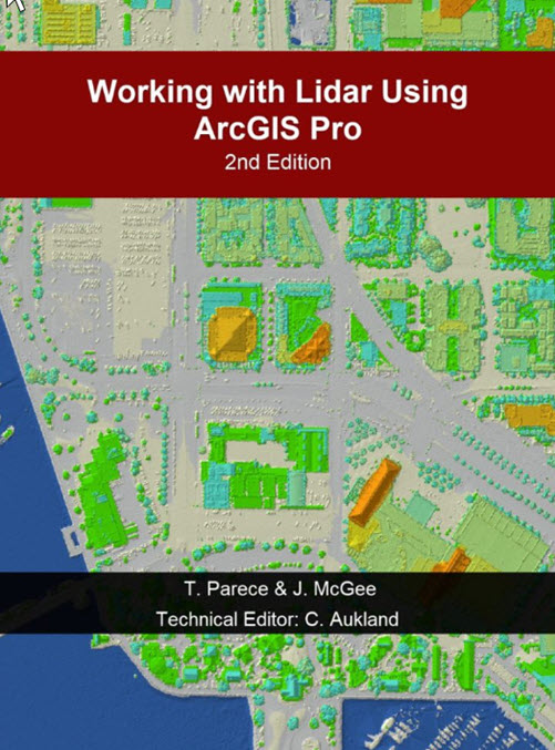
Parece, McGee, & Aukland (2025). Working with Lidar using ArcGIS Pro (2nd edition). PressBooks. 499 pages.
Download the data associated with this book from here.
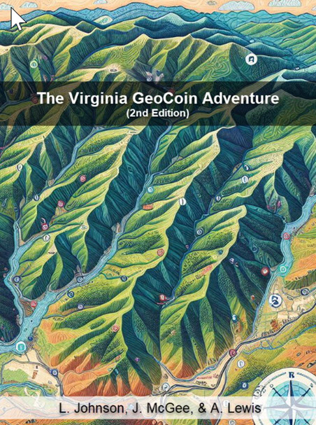
Johnson, McGee, & Lewis (2025). The Virginia GeoCoin Adventure. PressBooks. 70 pages.
This short publication provides educators with the information to begin geocaching, including with trackable geocoins, and includes opportunities for geocoin-supported learning lessons.
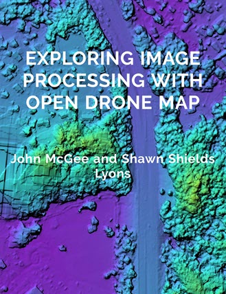
McGee J. & Shields Lyons, S. (2024). Exploring Image Processing with Open Drone Map. Pressbooks. 57 pages.
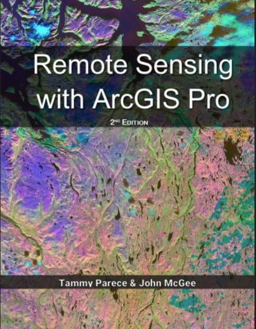
Parece & McGee. (2023). Working with Remote Sensing with ArcGIS Pro (2nd edition). Amazon Press. 526 pages. Also available online via PressBooks.
Download the data associated with this book from here.
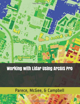
Parece, McGee, & Campbell. (2020). Working with Lidar using ArcGIS Pro. Amazon Press. 592 pages. (note that the 2nd edition is coming in 2025)
Download the data associated with this book from here.
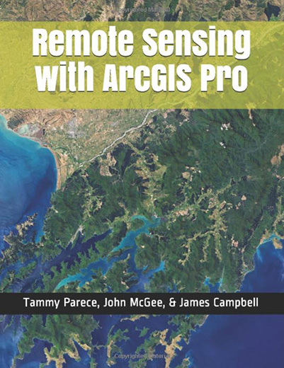
Parece, McGee, & Campbell. (2019). Working with Remote Sensing with ArcGIS Pro (1st Edition). Amazon Press. 412 pages.
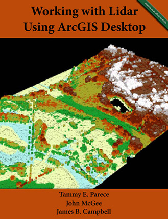
Parece, McGee, & Campbell. (2018). Working with Lidar Using ArcGIS Desktop. Amazon Press. 336 pages.
- McGee, J & Shields Lyons, S. (2024). Exploring Image Processing with Open Drone Map. Pressbooks. P. 57.
- Parece, T. & McGee, J. (2023). Remote Sensing with ArcGIS Pro (2nd Edition). Amazon Press. P. 526.
- Parece, T., McGee, J., & Campbell, J. (2020). Working with Lidar Using ArcGIS Pro. Amazon Press. P. 395.
- Parece, T., Campbell J., & McGee, J. (2017). Remote Sensing Analysis in an ArcMap Environment: 2nd Edition. Amazon Press. P. 269
- Parece, T., McGee, J., & Campbell, J. (2016). Working with Lidar Using ArcGIS Desktop (Vol. 1, 1 ed.). Amazon Press. P. 333.
- Parece, T., Campbell, J., & McGee, J. (2015). Introduction to Remote Sensing in an ArcMap Environment. Amazon Press. P. 255.
Data for Book Tutorials
Data for book tutorials are available for download from ‘the cloud’…
- Remote Sensing with ArcGIS Pro: 2nd Edition (2023).
- GIS files for exercises – GIS_Files_AGPv2.zip
- Landsat images – these are available from the USGS’s Earth Explorer
Book Chapters
 McGee, J. & Campbell, J. (2019). The sUAS Educational Frontier: Mapping an Educational Pathway for the Future Workforce. In J.B. Sharma (Ed.). Applications of Small Unmanned Aircraft Systems: Best Practices and Case Studies (pp. 57-80). Taylor & Francis.
Parece, T., McGee, J. A., & Campbell, J. (2016). Online Geospatial Resources to Support STEM Instruction. In D.J. Cowen (Ed.) STEM and GIS in Higher Education. (Revised edition ed., pp. 75-94). Redlands, CA: Esri Press.
Other Publications
- Bradt, S., & McGee, J. (2018). The National Extension Web-mapping Tool: From Data Exploration and Discovery to Decision Making. Journal of Extension. 56(5): Article # 5TOT4.
- McGee, J. (2017). Unmanned Aircraft Systems for Natural Resource Managers. Virginia Forests, LXXIII(3), 6-11.
- Parece, T., McGee, J., Campbell, J. B., & Wynne, R. H. (2015). Virginia’s Efforts to Expand Learning Geospatial Technologies Across the Educational Spectrum. Photogrammetric Engineering & Remote Sensing, 81(3), 177-185.
- McGee, John and Kirwan, Jeff. (2010). The Sky’s the Limit: Integrating Geospatial Tools with Pre-College Youth Education. Journal of Extension. 48(1).
- Wiseman, Eric and McGee, John. (2010). Taking Stock: Assessing Urban Forests to Inform Policy and Management. Virginia Forests. LXV(4): 4-7.
- Campbell, James B. (2008). GloVis as a Resource for Teaching Geographic Content and Concepts. Journal of Geography 106: 239–251
