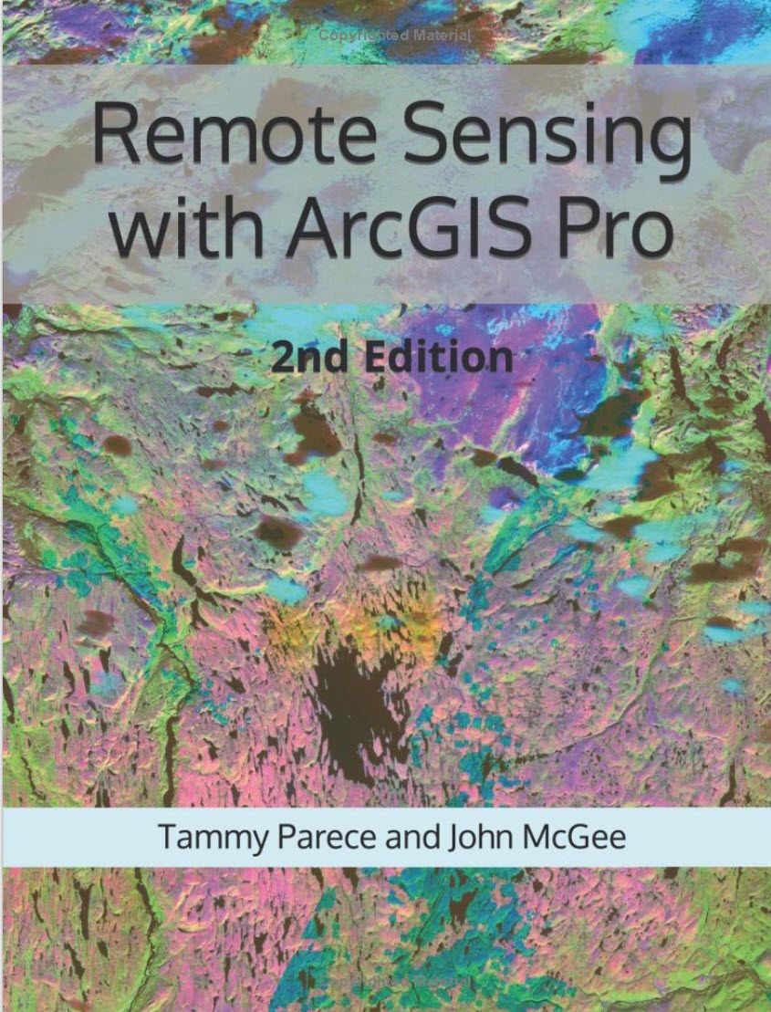
Remotely sensed images are widely available and have countless potential applications. In the past, analyzing these images required specialized software. Esri’s ArcGIS® Pro software provides image analysis tools that both novice and experienced analysts can use. This manual provides a series of easy-to-understand, step-by-step tutorials to guide you through Landsat image acquisition and data analysis processes. By completing this series of tutorials, you will be able to:
- Search, select, and download satellite imagery from the USGS’s EarthExplorer
- Manipulate data in ArcGIS Pro
- Display Landsat 9 imagery (as well as imagery collected by other satellite and UAS platforms)
- Enhance and analyze remotely sensed imagery.
Access the text from here –> https://virginiaview.cnre.vt.edu/books/

