Mapping with Drones: Drone Discovery
Please note that registration for the May 2025 workshop has closed. Contact John McGee (jmcg@vt.edu) for additional information.
Location: Virginia Tech (various field locations, classrooms, & a computer lab)
What: 3-day face-to-face/hands-on workshop. Mapping with Drones: Drone Discovery. This introductory workshop will provide an overview of the workflows and duties associated with creating maps from drone images. This is a hands-on workshop. Participants will gain an understanding of:
- Drone safety and best practices
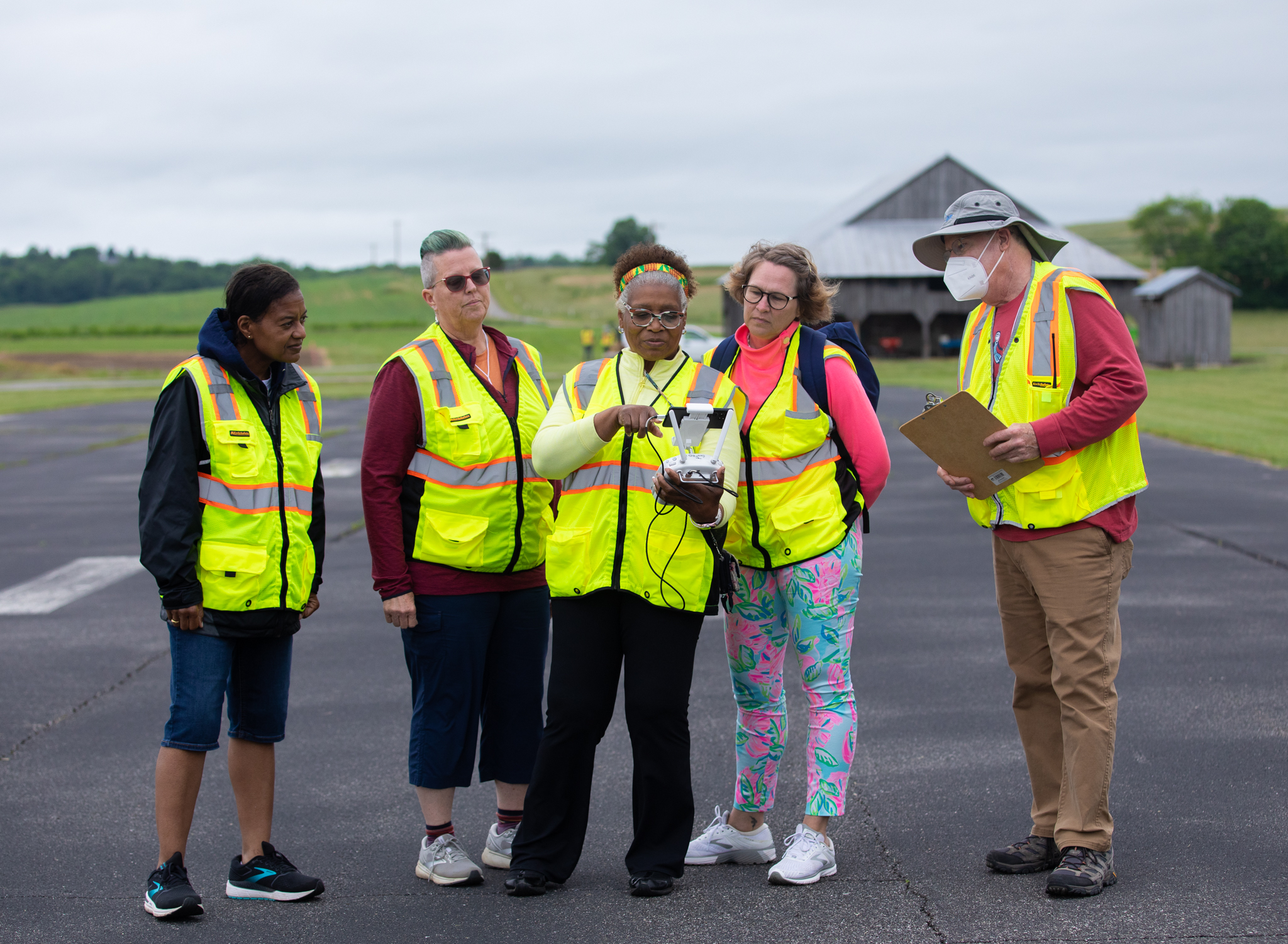
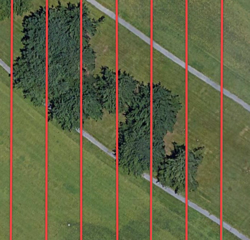
- Flight planning ( manual and autonomous)
- Flight operations (manual and autonomous)
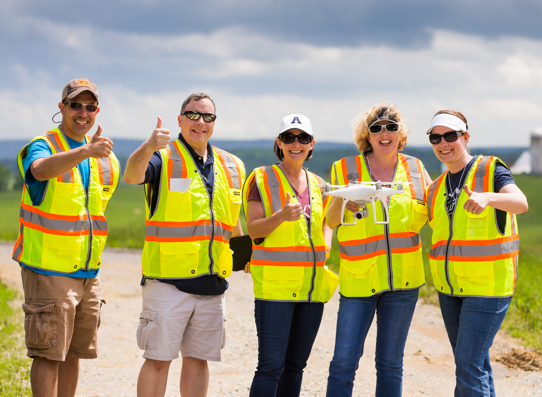
- Fixed-wing and Quadcopter flight operations
- Applicable software for data collection, processing, and analysis
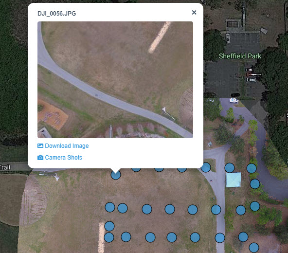
Topics covered include manual flight practice (in the drone cage) using targets and NIST buckets, a discussion of drone and sensor platform options, autonomous & manual flight planning, autonomous flight operations, data collection, and image analysis workflows (creating orthomosaics) using open-source software (compatible with both Windows and iOS operating systems).
By the workshop’s conclusion, participants will be familiar with the tasks, duties, and workflows associated with a drone project, including the operation of a drone, flight planning, drone and sensor selection, drone-based data (imagery) collection, and data processing (creating maps). Note that this workshop does not prepare participants for the remote pilot certificate test (aka Part 107). Follow this link for information about the Remote Pilot Test Prep workshop.
Who: This workshop is intended for anyone interested in drones to collect data and make maps. This could include Extension agents/specialists, Private industry, Natural resource professionals, Planning professionals, local/state/federal govt. employees, Public safety professionals, Agricultural operators, Educators (high school, community college, university), Realtors, Construction/Inspection teams, etc. This is an introductory workshop… No previous experience or knowledge is necessary. It is suggested that participants have a remote pilot certificate or attend the remote pilot certification preparation workshop.
Attendees will receive a certificate that can potentially be applied towards for professional development points, CEU’s, or teacher recertification credits (24 contact hours).
Topic: Mapping with Drones: Drone Discovery
Workshop Cost: Registration for the 3-day workshop is $900. The registration fee covers instruction, handouts, use of equipment and supplies, transportation to field sites, and lunch (two days). Online registration is required (credit card accepted via VT’s secure site). Due to university regulations, VT employees and students cannot use a P-card for registration (payment must be made with a credit card and can later be reimbursed). Note that this is a small class, so space is limited.
Online Registration: Online registration is available from https://www.tinyurl.com/mapwdrones .
Provided: Instruction, transportation to the field (vans), lunches, snacks, & VT guest parking passes during the 3-day workshop.
Not provided: lodging, breakfast, dinner.
When: May 20-22, 2025 (8:30 – 5:00). This is a 3-day, face-to-face workshop. It will involve both inside and outside activities. Please dress appropriately (comfortable shoes, sunhat, etc.)
Location: Blacksburg, VA
Accommodation Options: Some accommodation options are available from here (and call around!)
General agenda:
–Day #1 (10:00 – 5:00)
- Summary of Remote Pilot Regulations
- Manual flight operations
- Basic maneuvers
- NIST Bucket Challenge
–Working Lunch (included)
- Intro to Autonomous Flight Planning
- Apps, online tools, checksheets, & planning software
- Creating an autonomous flight plan
–Day 2 (9:00 – 5:00)
- Uploading an autonomous flight plan
- Conducting an autonomous flight (in the field)
- Data collection (in the field)
–Working Lunch (included)
- Sensors, payload, and drone options and selection criteria
- Stella Spectrometers
–Day 3 (9:00 – 2:00)
- Organizing data
- Image processing software options
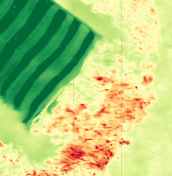
- Creating an image mosaic and digital surface model (DSM) (computer lab)
–Working Lunch (included)
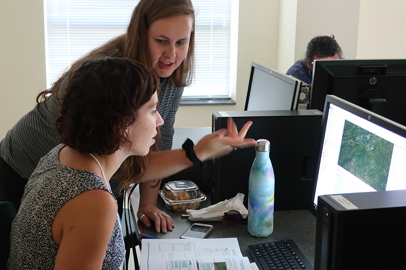
- Image interpretation and image processing software exploration (computer lab)
- Wrap-up and depart
Just keep in mind that some components (field work) of this workshop are weather-dependent, so we may need to shuffle the schedule around and/or conduct alternate activities.
Participant Testimonials:
This was by far one of the best training programs I have attended in my 30+ years of Extension work. The instructors were extremely well prepared and knowledgeable. -VCE Agricultural Extension Specialist
This workshop was of tremendous value. The content was all-encompassing and took me as a student from the understanding of bare basics to feeling confident in my ability to take the Part 107 and utilize a drone for mapping purposes… -Local Government Employee
This workshop was exactly what I needed to help me think through the details of operating a drone with Virginia Tech undergraduates to help support urban temperature mapping in Roanoke. I was primarily interested in learning about how to operate safely, how to identify risks and how to mitigate them, and what kind of equipment would be best for my needs. All of these topics were well-covered in this workshop… -Higher Education Faculty member
I am glad to have gained this knowledge as it will make me more professional, a safer sUAS pilot, and almost certainly get longer use out of my drone… -Private Sector Employee
Cost: General registration for the 2-day hands-on Mapping with Drones Operations Workshop is $900. Major credit cards are accepted via Virginia Tech’s secure online system. P-cards, unfortunately, can not be accepted (university regulations). Receipts are provided via email after payment has been submitted.
2-Day Workshop Summary: Small Unmanned Aircraft Systems (sUAS) are permeating many sectors of industry and are increasingly being employed as data collection platforms to support an array of applications. Applications span disciplines and industries and can include: planning, natural resource management, marketing, inspection of structures, agricultural production, permitting, and public safety. Specific sensors can be used to tailor application needs. Flights can be scheduled and conducted under short notice to accommodate weather and temporal considerations. sUAS operations support efficient workflows and provide opportunities for ‘data on demand’. This is an intensive, yet introductory level workshop, and can be considered a ‘drone boot camp’. No previous knowledge or experience with drones, sUAS, or GIS is required.
Workshop Outcomes At the conclusion of the workshop, participants will:
- Gain experience conducting manual drone flights.
- Understand the advantages and disadvantages of manual and autonomous drone flights.
- Plan and conduct an autonomous drone flight.
- Collect data (imagery) using a drone.
- Understand how to create an image mosaic (orthomosaic) by using low-cost specialized software.
- Understand the workflow associated with a drone-based project.
- Gain experience with proper record-keeping and documentation to support drone projects.
Registration: Online registration is available from here (major credit cards & e-check are accepted).
- Workshop registration closes ~1 month before the workshop or when the workshop fills.
- After you submit your online registration & payment, you will receive a payment confirmation and further information about the workshop (specific location, parking, etc.).
- This is a face-to-face workshop in Blacksburg.
- Participants will receive a visitor parking pass (2 days) and lunch (2 days).
- Accommodations and other meals are the responsibility of the participant.
- Space is limited.
- Questions associated with the workshop should be directed to John McGee (jmcg@vt.edu) or Daniel Cross (falkus@vt.edu).
— Save
Virginia Cooperative Extension programs and employment are open to all, regardless of age, color, disability, gender, gender identity, gender expression, national origin, political affiliation, race, religion, sexual orientation, genetic information, veteran status, or any other basis protected by law.
If you are a person with a disability and desire any assistive devices, services or other accommodations to participate in this activity, please contact John McGee (307C Cheatham Hall, Blacksburg, VA) at (540) 231-2428 /TDD*or jmcg@vt.edu) during business hours of 8 a.m. and 5 p.m. to discuss accommodations at least 5 days prior to the event.
*TDD number is (800) 828-1120
