Monthly Archives: August 2023

New Remote Sensing Tutorial Book! Remote Sensing with ArcGIS Pro (2nd Edition)

Remotely sensed images are widely available and have countless potential applications. In the past, analyzing these images required specialized software. Esri’s ArcGIS® Pro software provides image analysis tools that both novice and experienced analysts can use. This manual provides a series of easy-to-understand, step-by-step tutorials to guide you through Landsat image acquisition and data

By |2023-08-21T11:49:10-04:00August 21st, 2023|Uncategorized|

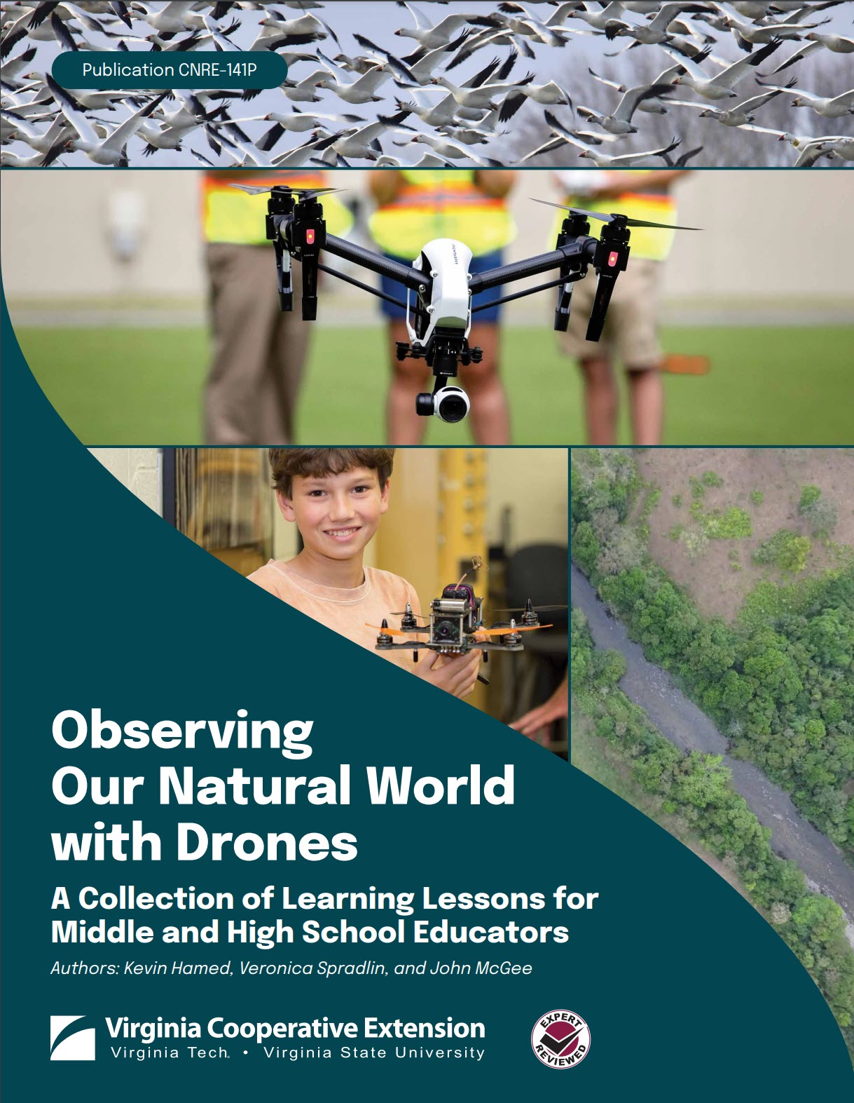
New Tutorial: Observing Our Natural World with Drones

This document provides a compendium of learning lessons in natural resources that are geared toward middle and high school educators. The curriculum resources included in this manual are intended to be provided ‘cafeteria style’ whereby educators can select the modules and exercises that best target their needs.   92 pages  |   5 MB Access the

By |2023-08-21T11:50:24-04:00August 21st, 2023|Uncategorized|
Go to Top