Monthly Archives: November 2023

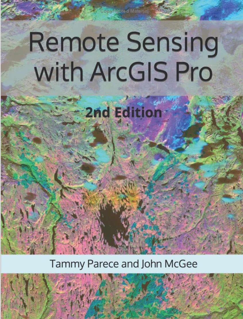
New Remote Sensing Tutorial Book! Remote Sensing with ArcGIS Pro (2nd Edition)

Remotely sensed images are widely available and have countless potential applications. In the past, analyzing these images required specialized software. Esri’s ArcGIS® Pro software provides image analysis tools that both novice and experienced analysts can use. This manual provides a series of easy-to-understand, step-by-step tutorials to guide you through Landsat image acquisition and data

By |2023-11-30T14:13:07-04:00November 30th, 2023|Uncategorized|

Virginia Tech GIS & RS Research Symposium

Join us as we celebrate Earth Observation Day on April 5, 2024 at the VT GIS and Remote Sensing Research Symposium!  Researchers from Virginia Tech and beyond will present their cutting-edge research experiences. Another highlight of the symposium is the Student Poster and Web Map App Showcase with both undergraduate and graduate work on

By |2023-11-30T13:47:20-04:00November 30th, 2023|Uncategorized|
Go to Top